Posted 3 years ago in Landmarks, Then and Now
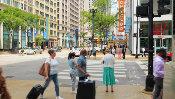
5 MIN READ - State Street is Chicago’s iconic retail corridor, with such anchors as Macy’s (formerly Marshall Fields), Block 37, Target, and more. The Red Line – Chicago’s most-ridden L line – runs along the street, connecting North and South Side Chicagoans to the Loop. State Street is also a cultural anchor for Chicago, with the Chicago Theatre situated at State and Lake, and the Broadway In Chicago's James R. Nederlander and CIBC Theatres at various cross streets. But was State always such a vital part of the city? How did it become the heart of the Loop?
The story of State Street begins in 1831 when the Illinois legislature officially authorized a State Road connecting Vincennes to Chicago. The name State Street came from this road, which ran along the eastern boundary of Chicago.
During the early 1800s, what we now call the corner of State and Wacker was the last outpost for shopping for the thousands of emigrants coming from the east going to government lands in Nebraska, Kansas and the Dakotas. As a result, State Street became a dynamic, economically strong commercial artery of Chicago.
In the late 1960s, Potter Palmer, an American businessman, took a gamble on the street to raise its profile and prestige. He convinced the thriving department store, Field, Leiter & Co., to move to the corner of State and Washington streets, and in 1870, he built his own hotel — the Palmer House.
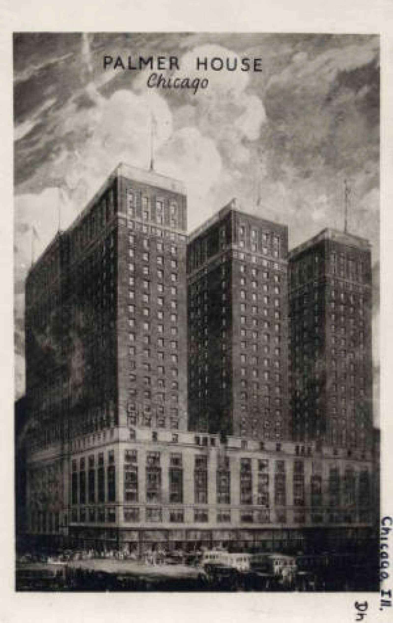
Just 13 days after its grand opening, the Palmer House fell victim to the Great Chicago Fire. However, it didn’t take Potter long before he rebuilt and reopened the hotel on November 8, 1873, with a $1.7 million signature loan — believed to be the largest individual loan at the time. Esteemed as the most elegant hotel in Chicago, the Palmer House boasted telegraphic fire alarms in each room, a fire hose on each floor, and large tanks of water on the roof. For about a century after the Chicago Fire, State Street continued to serve as Chicago’s primary retail center.
The post-World War II era, however, brought with it a new economic landscape as soldiers returned home and started raising families, giving rise to rapid suburban developments. Coupled with the newly-constructed highways, which made commuting to the city easier, the suburbs enticed both residents and businesses away from the bustling city.
Subsequently, there was a growing concern that downtown was going to become a ghost town. In 1972, State Street became the focus of the city and business community, which decided to build the State Street Mall, an urban transit mall, to counter the suburbia exodus.
“When downtown started to empty out in the early ’70s, business leaders from the Greater State Street Council went to the city with the idea of creating the pedestrian mall,” said Laura Jones, former associate director of Chicago Loop Alliance. “They wanted to make State Street more like a suburban shopping mall, and also people were becoming more energy conscious, so they decided to try a transit mall.”
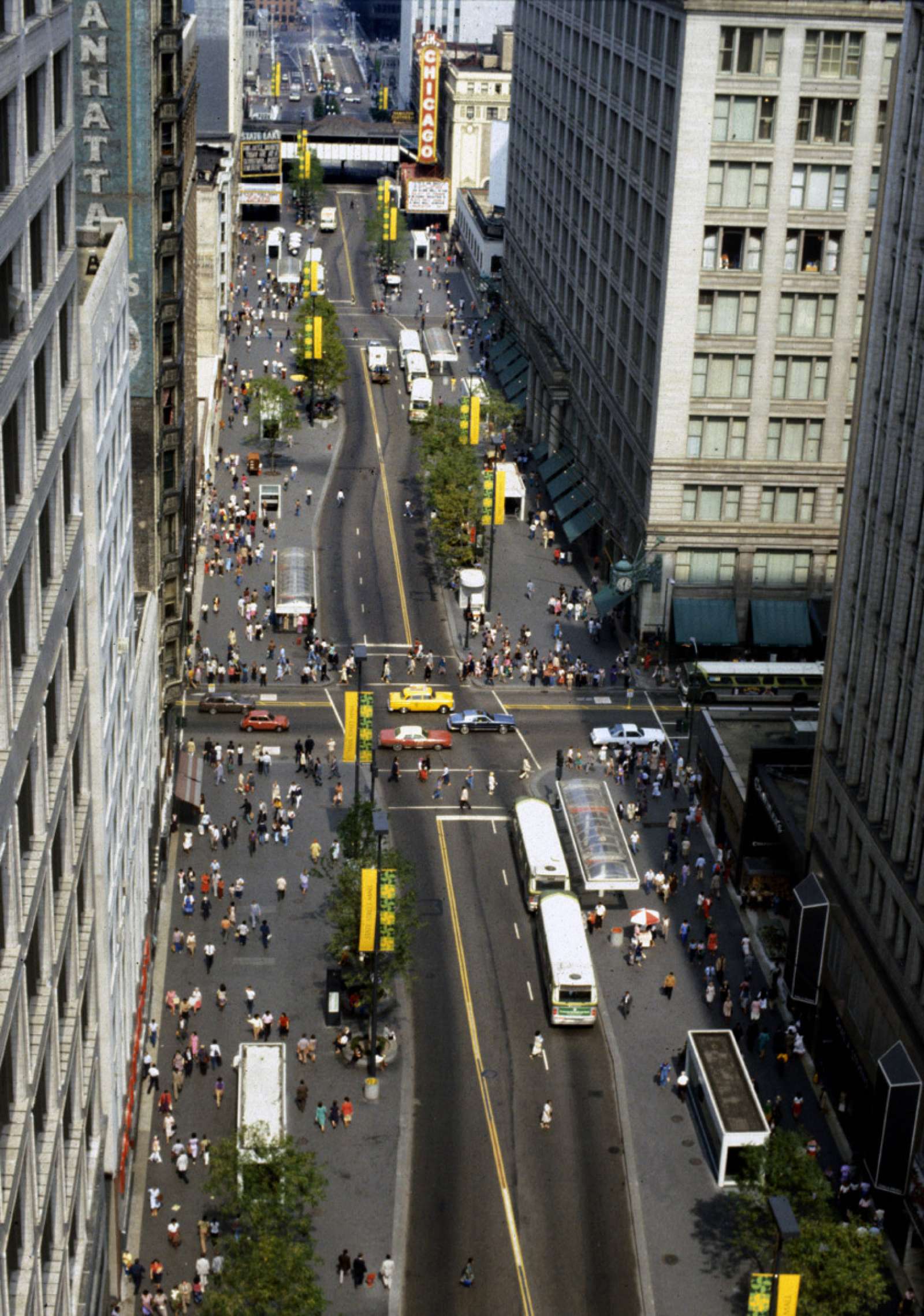
In 1977, State Street’s Special Service Area #1 was created to issue bonds in part to finance the construction and maintenance of the State Street Mall. It is the oldest Special Service Area in the city, and the Greater State Street Council (GSSC), an influential group of business people, was the first sole service provider.
Opened in 1979, the State Street Mall was designed to improve the efficiency of the bus system, reduce noise and air pollution, and enhance the pedestrian as well as shopping experience on State Street. This transit mall, which cut across nine blocks, prohibited private automobiles on the street (except for the east-west traffic), and only allowed buses and emergency vehicles. Wider sidewalks, bus shelters, and subway entrances were also the new features of the transit mall.
“The State Street Mall did not work out because it cut the street off from the rest of the Loop and took away its excitement,” Jones said. “The car ban meant you couldn’t drop grandma off in front of the Field’s entrance anymore.”
State Street remained stagnant in the 1980s until GSSC spearheaded a revitalization effort. By collaborating with voluntary professionals from a variety of industries, it identified problems and suggested strategic solutions. Land use, finance, marketing, and events were paid closer attention, which resulted in Vision for the Future of Greater State Street, a thematic plan that was adopted by the GSSC board and Mayors Harold Washington, Eugene Sawyer, and Richard M. Daley.
The GSSC worked with city departments in overseeing the implementation of the program, as it led the Vision. Between 1985 and 1992, more than $1 billion was invested in new developments on State Street. Eventually, State Street’s decline was in reverse, primarily due to the doubling of downtown office spaces, booming residential buildings, and the Theatre District. The former nine-block retail street grew into a mix of office buildings, entertainment, culture, and education to complement the retail core.
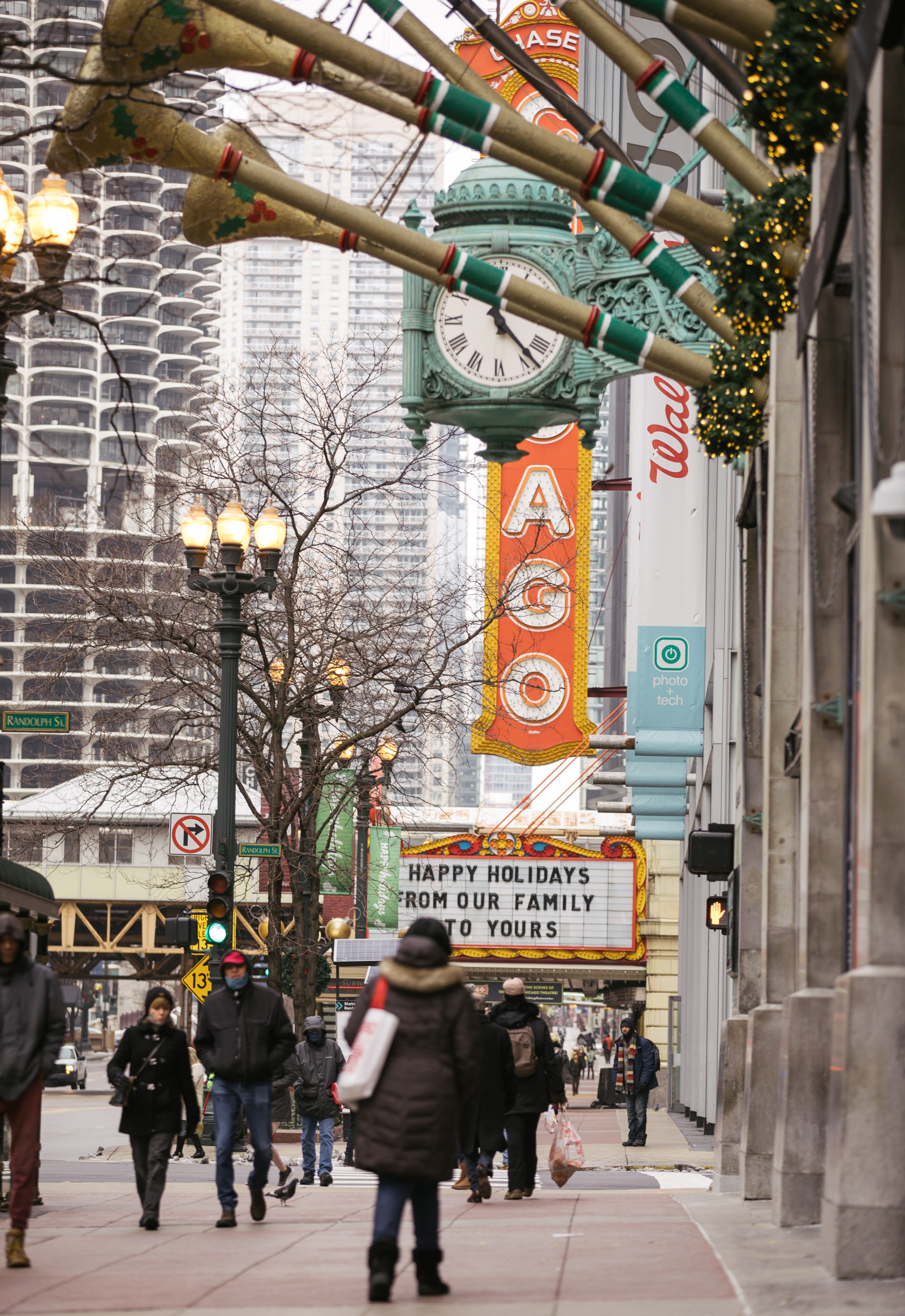
In part to enhance and maintain the development of State Street, the GSSC merged with the Central Michigan Avenue Association to form Chicago Loop Alliance in 2005. The Alliance is contracted by the City of Chicago as the sole service provider for State Street Special Service Area #1-2015 — the third reconstitution of the SSA — with the goal of making State Street a highly desirable world-class destination for residents, tourists, and visitors. It also creates an environment conducive for new businesses and real estate to thrive in the Loop, which is ranked seventh in the world for its attractiveness according to the EY-ULI report.
Today, Chicago Loop Alliance's members consist of more than 300 businesses, organizations, and individuals located within the Loop and beyond. Its project boundaries are the Chicago River to the north and west, Ida B. Wells Drive on the south, and Lake Michigan to the east.

